22nd Battalion 2NZEF
"Vrai et Fort"
Crete Commemoration 2016
The battle of Crete 75 years on
Across the White Mountains to Sfakia
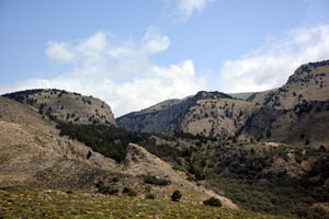
The White Mountains form an impressive barrier running west-east along the centre of western Crete. They are predominantly limestone, and snow-covered in winter, hence
the origin of the name. The highest summit is 2,453m and much of the mountain range is over 2,000 metres. The mountains are dotted with caves and cut by deep narrow gorges. In 1941
they made good hiding places for the Allied troops who were either left behind or who escaped German capture. By 28th May 1941 Freyberg had decided that Crete was lost
and he was given permission to withdraw across the White Mountains to Sfakia on the south coast from where the Allied forces would be evacuated by the Royal Navy (again!). The road,
such as it was, climbed up to a pass at about 1,000 metres and then on to the Askifou Plateau where the men assembled before scrambling the last section down the hillside to the small beach at Sfakia.
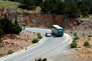
The modern road follows the same route, but it is a sealed highway and today is full of tourist buses taking people to and from Samaria Gorge.
Askifou Plateau and the War Museum
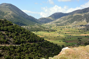
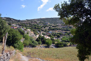
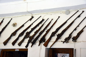
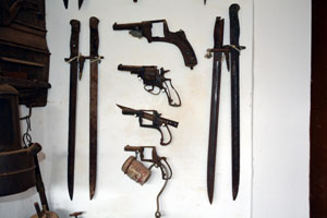
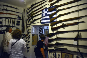
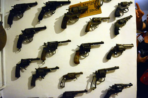
We followed the road across the White Mountains to the plateau of Askifou and the village of Ammoudari. We stopped here to look at the view across the valley then descended to the village where
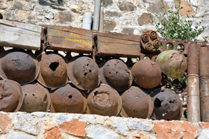
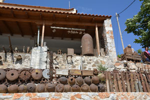
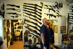
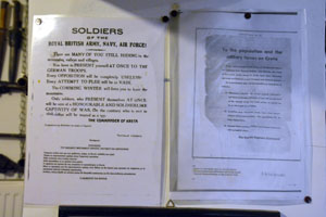
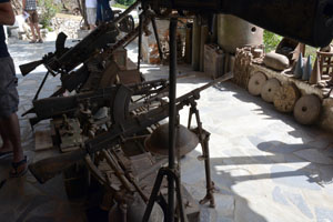
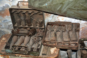
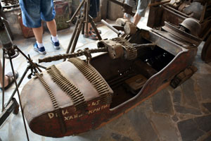
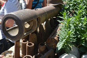
a local family has built up a collection of war relics. It was a strangely eclectic collection of German, British and American equipment. I was not al all convinced that
all of the munitions had been rendered safe...
|
The road towards the White Mountains.
|
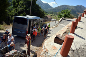
Tour coach on the new road over the White Mountains.
|
|
|
|
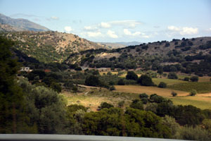
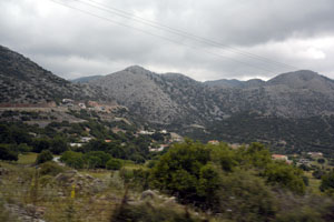
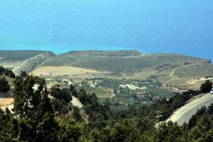
Our first glimpse in the Askifou Plateau
|
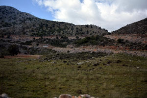
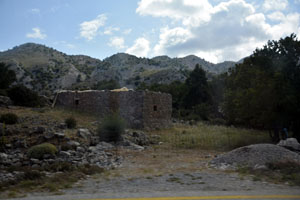
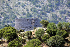
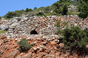
The hills here still bear the remains of Crusader castles
|
|
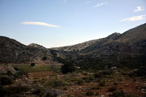
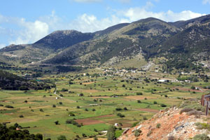
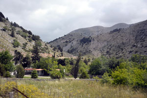
The valley of Askifou and the village of Ammoudari in the distance
|
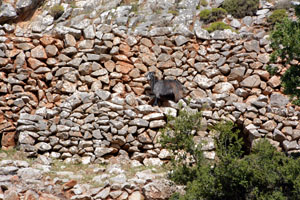
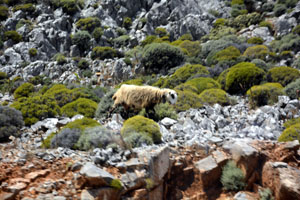
A local goat on the hillside
|
A shepherd's hut still stands on the hillside.
|
|
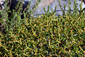
The vegetation favoured by the goats
|
Looking back up the hill
|
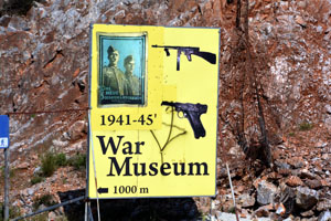
Directions to the "War Museum".
|
|
Alighting from our tour coaches on the narrow road.
|
Path up to the museum.
|
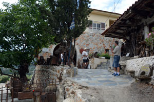
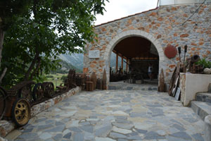
The entrance with signs of war material everywhere.
|
|
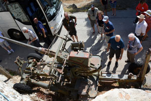
Inspecting an anti-aircraft gun.
|
Tin hats, British mainly with one American.
|
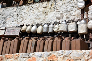
German Jerry Cans (yes that is how they got their name) and water bottles
|
|
|
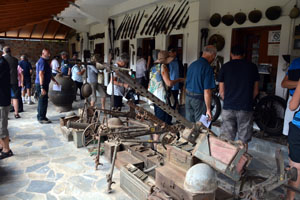
Inspecting the collection
|
|
|
|
|
|
|
|
|
|
|
|
|
|
White Mountains and Dudley Perkins
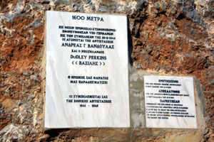
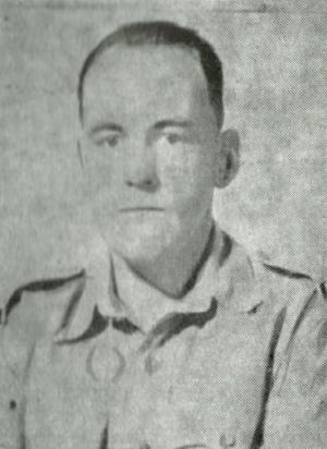
From the Askifou Plateau we continued south, passing more small villages. Near the top of the pass there is a small marble memorial to a New Zealander, Dudley Perkins.
Perkins was a gunner with the New Zealand 4th Field Regiment. He was captured during the retreat to Sfakia but escaped and hid in the mountains for a year. After being evacuated to Egypt
he volunteered to return to Crete to help find and evacuate the remaining Allied soldiers and to help organise the Cretan resistance. He becamse known as "Vasili - The Lion of Crete". Perkins
was eventually caught in a German ambush and died in the mountains. His body was buried locally but much later it was removed to the main cemetery at Suda Bay.
|
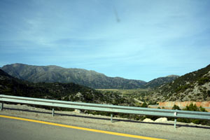
Road over the White Mountains
|
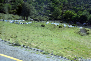
Beehives on the roadside
|
|
|
|
|
The memorial to Dudley Perkins
|
|
Dudley Perkins - The Lion of Crete
|
Over the mountains to Sfakia
In 1941 the track over the mountains stopped at the top of the last ridge before the descent to the coast. From there the men had to follow shepherds' tracks
down to Sfakia. Today there is a highway, pushed through to Sfakia as part of the access route to the UNESCO World Heritage-listed Samaria Gorge.
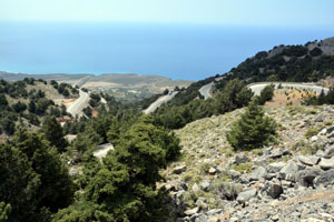
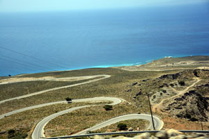
The last part of the road snakes its way down the steep hill - it is a major engineering triumph.
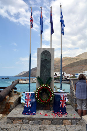
Once we reached Sfakia we spent some time at the memorial to the men who arrived here and who were either evacuated or left behind.
|
This would have been the end of the road in 1941.
|
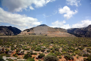
It is rugged country...
|
and a long way down to the coast.
|
|
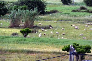
It is mountain goat - or sheep - territory.
|
The road winds down...
|
and there are plenty of switch-backs.
|
|
Looking back up the hill you can see the road climbing.
|
These are the rugged hills that hid the men in 1941.
|
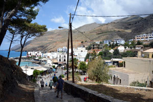
Soon the road descends into Sfakia.
|
|
The tour coaches part outside the town and you walk the last part.
|
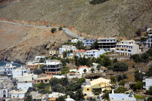
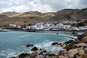
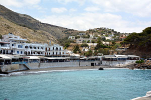
Sfakia is still a small village.
|
|
|
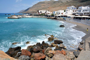
Above the protective seawall are lots of restaurants.
|
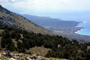
The view across the bay...
|
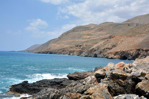
and up the coast...
|
|
is quite remarkable.
|
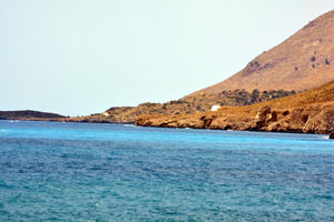
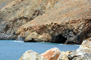
The coast is dotted with caves.
|
|
|
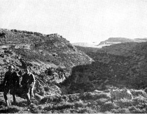
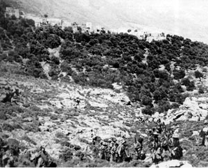
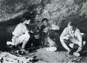
A 1941 photo of men in the White Mountains
|
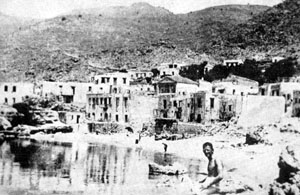
The southern coast in 1941
|
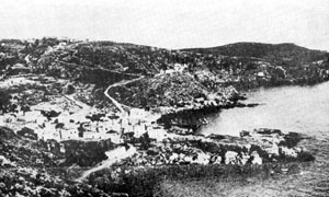
Sfakia in 1941.
|
|
The White Mountains in 1941
|
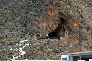
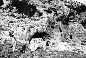
One of many caves used by shepherds nadn in which the Allied evaders hid.
|
CREFORCE HQ above Sfakia. Freyberg sharing water in a cave.
|
|
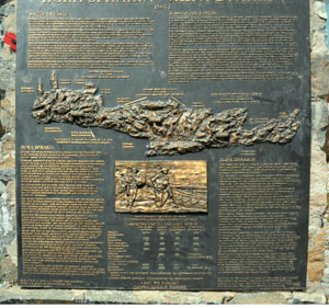
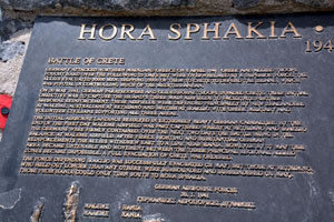
The memorial at the beach at Sfakia
|
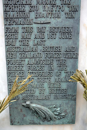
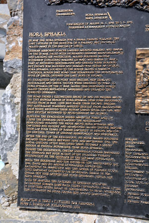
The bronze plaques on the memorial
|
|
|
|
|
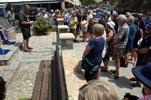
Part of the service we held at Sfakia.
|
|
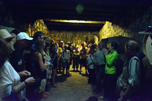
On the return to Chania we stopped at a local winery. Here in the caves...
|
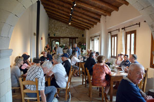
and in the tasting room..
|
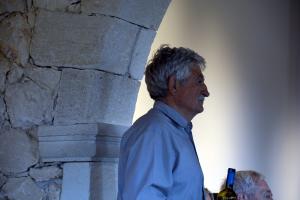
and our delightful host.
|
Back to previous day 
 Forward to next day Forward to next day
Return to first page
Last updated: 30/07/16
|

